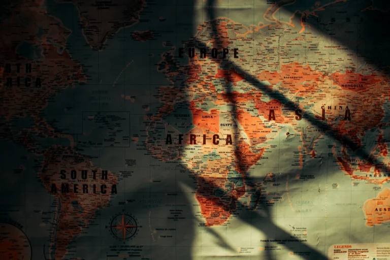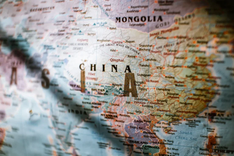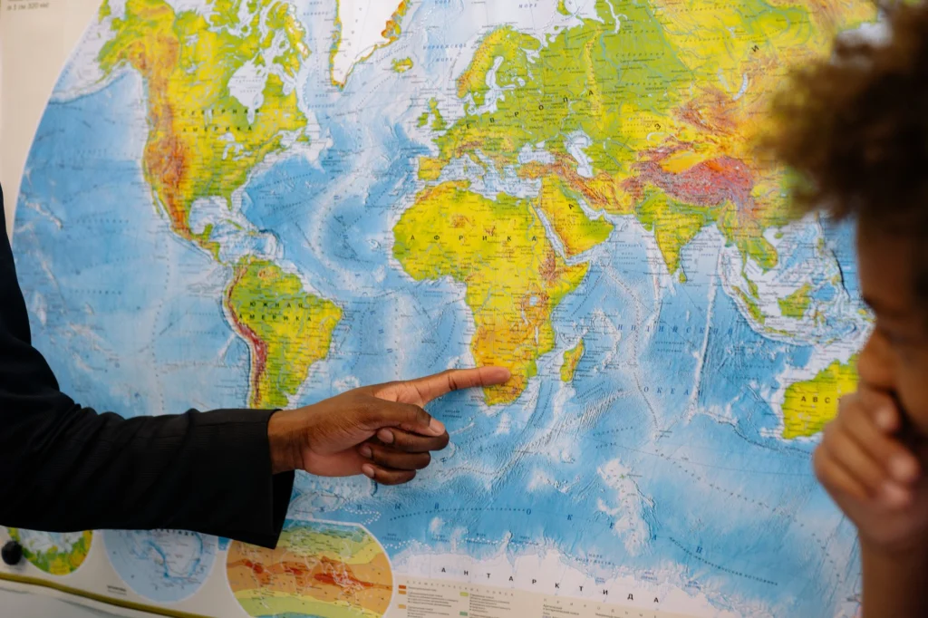
Most people’s mental map of the world was set sometime in childhood and rarely gets a serious update after that. That’s a bigger problem than it sounds, because borders, territorial claims, and even physical geography change more often and more substantially than the average person’s internal map accounts for.
Political borders shift more than people assume
Since the year 2000 alone, more than a dozen new sovereign states or major border changes have occurred — from South Sudan’s independence in 2011 to ongoing, unresolved disputes across parts of Eastern Europe, the South China Sea, and the Horn of Africa. Maritime boundaries are an even less visible but consequential category: the rules governing which country controls resource-rich waters (fishing rights, seabed minerals, oil and gas) are determined by exclusive economic zones extending 200 nautical miles from a coastline, which means a small, previously irrelevant island can suddenly control an enormous and economically significant patch of ocean — a major reason several small island disputes have taken on outsized strategic importance.
Physical geography is changing too
It’s not just politics. Rising sea levels are measurably redrawing coastlines in low-lying regions, and retreating glaciers have already required actual border re-surveys in parts of the Alps, where the boundary between Italy and Switzerland was legally defined by a glacial ridge that has since melted and shifted. Arctic sea ice loss has opened shipping routes that didn’t reliably exist a generation ago, turning previously irrelevant northern waters into a genuine emerging strategic and commercial corridor that multiple countries are now actively contesting.
Why this matters beyond trivia
Outdated mental maps aren’t just an educational curiosity — they shape how people interpret news. A conflict or dispute in a region whose borders or strategic relevance you’re picturing incorrectly is much harder to actually understand. The practical fix isn’t memorizing new maps every year; it’s holding your mental map more loosely, and treating “the borders I learned in school” as a reasonable starting approximation rather than a fixed, permanent fact.
If your company or product is mentioned in this article, you're welcome to share it.