It’s tempting to treat physical geography as the unchanging stage on which human history happens — mountains and rivers as fixed facts, borders as decisions layered on top. The more accurate way to think about it is that geography and politics constantly shape each other, and understanding the mechanics behind how a border, river, or mountain range actually gets decided explains a surprising amount of why the modern world map looks the way it does.
Rivers make convenient but unstable borders
Rivers are one of the most common natural border markers because they’re visible and hard to dispute at a glance — but rivers move. Many border treaties specify the boundary as the river’s main navigable channel (the thalweg), which shifts as the river erodes one bank and deposits sediment on the other over decades. This has produced genuinely strange outcomes: pockets of land that technically belong to one country but sit on the “wrong” side of a river that has since shifted, some of which persist as legal oddities for generations because renegotiating a border is far harder than the river’s drift that caused the problem.
Mountain ranges are decided by watershed, not just height
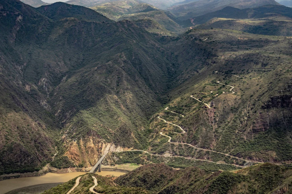
Mountain borders are typically drawn along the watershed line — the ridge that determines which side rain and snowmelt drains toward — rather than simply the highest peaks, because the watershed principle produces a border that’s at least logically consistent with the terrain’s actual drainage and, historically, land use. It’s also why border disputes in mountainous regions are so often intractable: the watershed line can be genuinely ambiguous on a broad, gently sloped ridge, and both sides can point to a scientifically defensible interpretation.
Straight-line borders reveal their history immediately
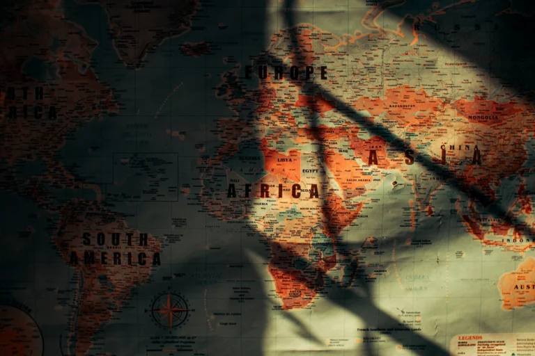
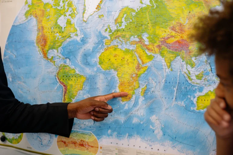
Any border that’s a suspiciously straight line on a map is almost always a signal of colonial-era or externally imposed boundary-drawing, done with a ruler on a map rather than negotiated on the ground with attention to who actually lived where. This is most visible across Africa and parts of the Middle East, where colonial powers drew straight lines through regions with existing ethnic, tribal, and linguistic geography they had little knowledge of or interest in — a pattern historians and political scientists still point to as a direct contributor to some of the most persistent conflicts in those regions today.
If your company or product is mentioned in this article, you're welcome to share it.